Groundwater extraction, plate tectonics and consequences of the last glacial period mean that most of the US’s biggest cities are sinking
By James Woodford
8 May 2025
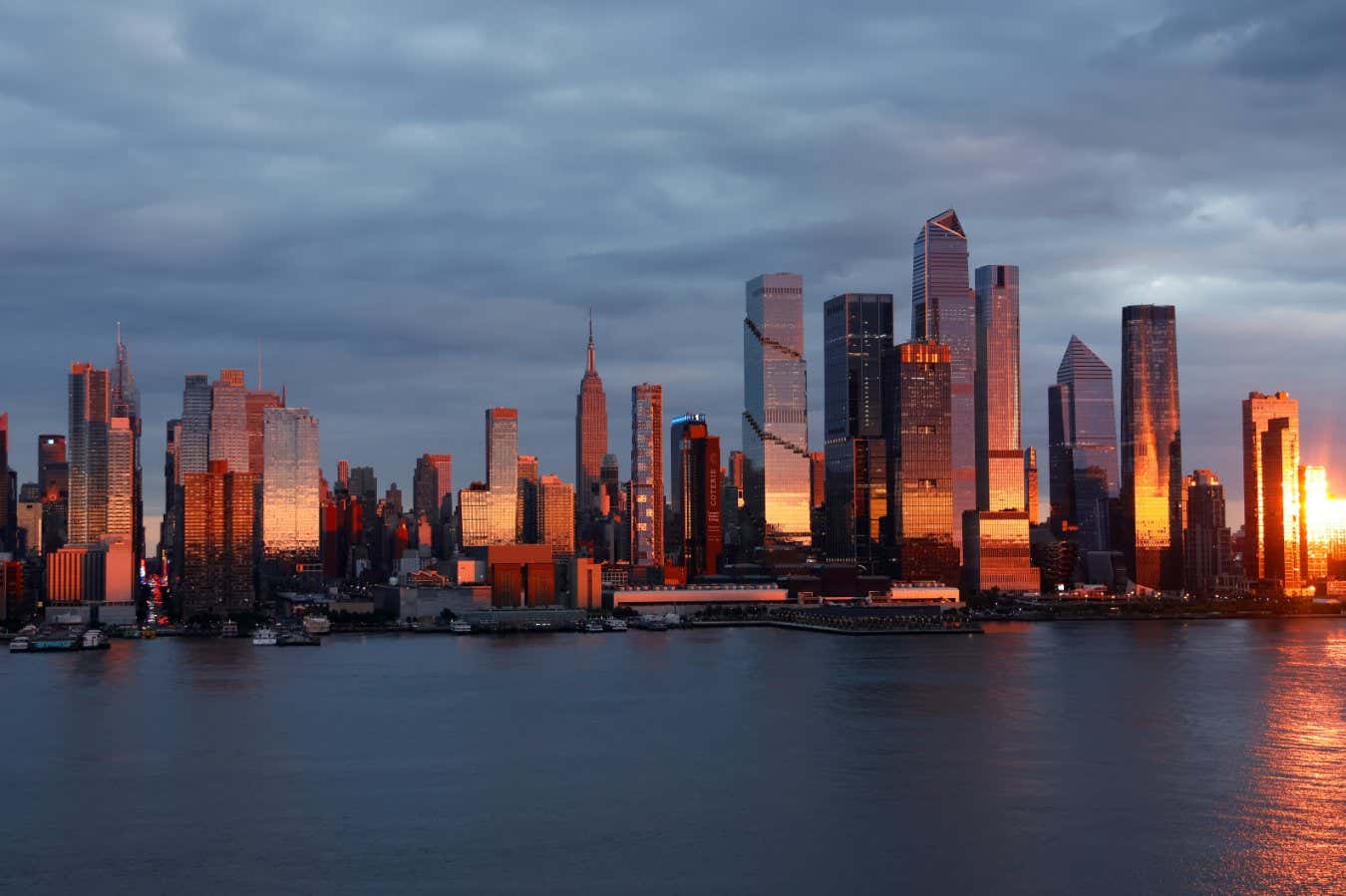
New York City’s skyline may start to look very different if the metropolis keeps sinking
Gary Hershorn/Getty Images
More than two dozen of the biggest cities in the US are sinking, which could affect thousands of buildings and millions of people.
The problem has been reported before, particularly in coastal areas. But by using satellite technology, which sends radar signals towards Earth’s surface and measures the time it takes for them to bounce back, scientists have found that it affects 25 out of 28 of the country’s biggest cities.
Read more
Five climate megaprojects that might just save the world
Advertisement
“By comparing multiple images taken over time from the same area, we can detect tiny vertical movements of the ground, down to a few millimetres per year,” says team member Manoochehr Shirzaei at Virginia Tech. “It’s like taking a high-resolution time-lapse of Earth’s surface and watching how it rises or sinks over time.”
Fort Worth, Houston and Dallas exhibited the highest subsidence rates of all the large cities, exceeding 4 millimetres per year, on average. For New York, Chicago, Columbus, Seattle and Denver, the average subsidence was greater than 2 millimetres per year.
“Houston – the fastest sinking city out of the 28 most populated US cities – has 42 per cent of its land area subsiding faster than 5 mm per year, and 12 per cent subsiding faster than 10 mm per year,” according to the researchers.